
God`s View
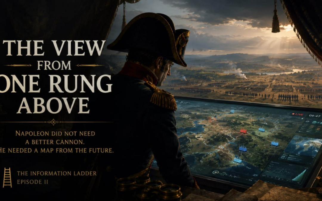
Napoleon did not need a better cannon. He needed a map from the future.
Imagine being allowed to bring Napoleon one object from the twenty-first century.
The obvious choices are almost disappointing. A rifle would astonish him until someone explained the mechanism. A photograph would become understandable after a few demonstrations. A car would be miraculous, certainly, but Napoleon already understood transport, speed and logistics well enough to appreciate immediately what it was for.
So perhaps we should bring him something less dramatic.
A screen.
Place it on a campaign table inside his headquarters. Around it are dispatches, handwritten reports and paper maps. Officers move in and out. Somewhere beyond the tent, men and horses are carrying information at the maximum speed their bodies allow. Napoleon looks at the screen and sees something he recognizes almost immediately: roads, rivers, towns, hills, formations.
Then tell him that the positions are current.
Not where the enemy was yesterday morning.
Where he is now.
Show him the weather moving toward the battlefield. Show the roads from above. Show supply routes. Let him enlarge a village until individual streets become visible, then pull his fingers apart and watch half a continent appear.
The interesting question is not whether Napoleon would understand the machine.
He would not.
The interesting question is how long it would take before he stopped caring.
The Tent Where the Future Arrives
Napoleon’s armies did not operate blindly. Cartography, topographical intelligence and geographical information were important parts of French military planning, and the Dépôt général de la Guerre gathered maps, survey information and topographical material for military use. Accurate geographical knowledge mattered enough that information was organized and communicated toward Napoleon’s own topographical apparatus and commanders in the field.
That makes the thought experiment better, because we are not giving maps to a man who had never encountered them. We are giving a sophisticated user of geographical information a radically different information environment.
Napoleon already knew what a map could do. He knew that terrain constrains movement, that roads concentrate armies, that rivers divide them, that distance changes the value of time and that information arriving too late can be almost indistinguishable from false information. A modern command screen would therefore not require him to invent an entirely new category of thought.
It would remove constraints from a category he already understood.
At first, perhaps, he asks the questions we expect. How is the picture made? Where is the observer? Is there a balloon above us? How can the map change without being redrawn?
Then the strategist returns.
How old is that position?
Can the enemy know that I see him?
Can he hide from this?
Can he make me see something false?
Show me yesterday.
Now show me tomorrow’s weather.
At that moment, the machine has disappeared.
The limitations of the machine have become interesting instead.
And that may be one of the signs that a new rung has been reached.
A Better Horse Is Not a Satellite
We often imagine technological progress as the same capability becoming stronger. A horse becomes a train, the train becomes a car, a messenger becomes a telegraph and eventually a digital network. In many cases that description works.
But occasionally technology does something more disruptive.
It changes the position of the observer.
A faster messenger still travels along the road. A satellite does not.
A more detailed ground report still describes a piece of terrain from within it. A view from above can reveal relationships that no single report contains: how roads converge, where movement becomes bottlenecked, how terrain relates to neighboring terrain, how one local decision fits inside an entire operational picture.
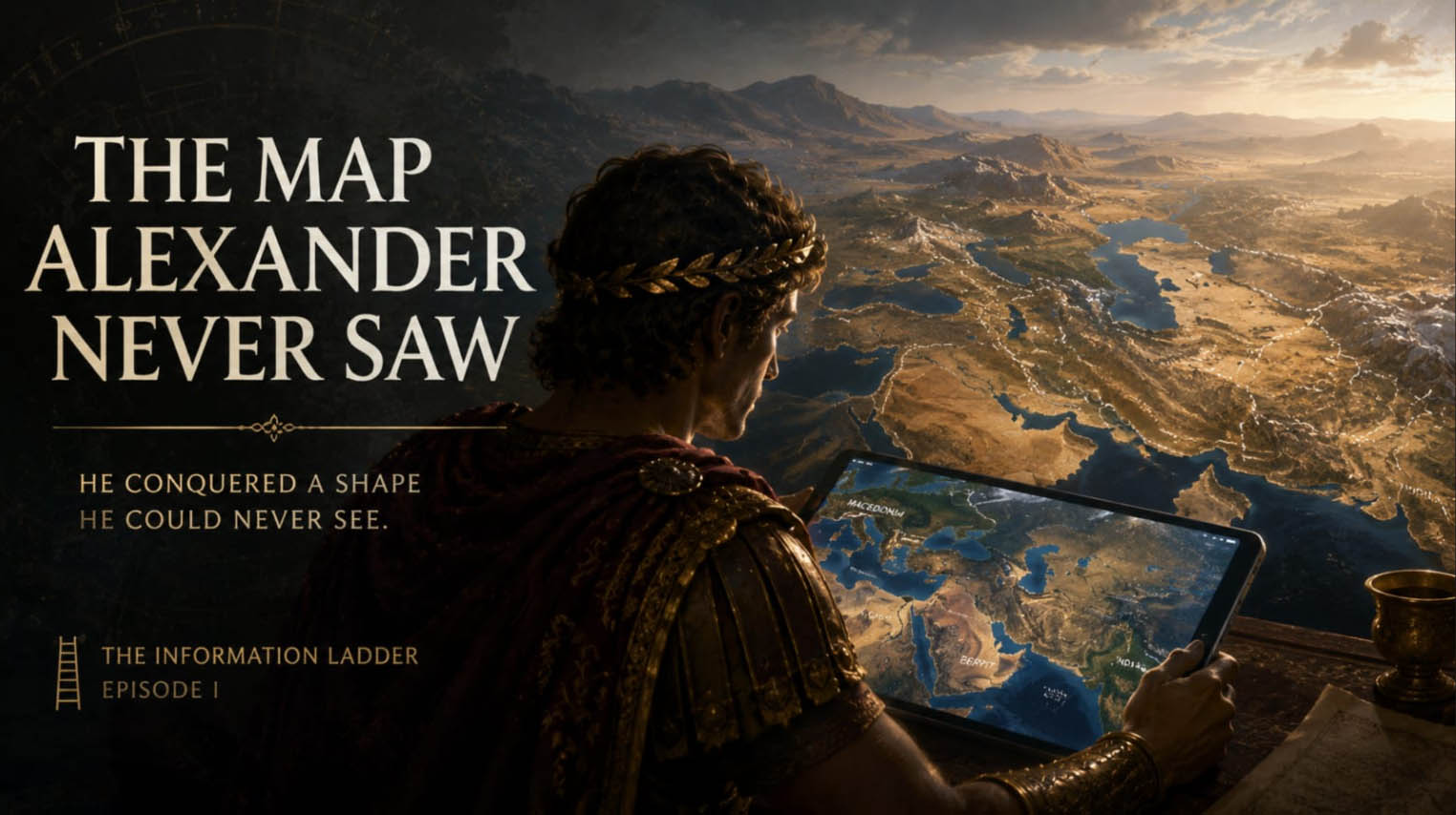
This is the same distinction we found with Alexander, but now it becomes active rather than historical.
Alexander conquered a shape he could never see as we can see it. Napoleon, two thousand years later, already possessed far more sophisticated cartographic institutions. Yet even he remained constrained by the speed, accuracy and observational position of the information available to his era.
A twenty-first-century map would not merely tell him more.
It could allow him to ask questions that were previously too expensive, too slow or simply impossible to formulate in real time.
That is important because new information and a new perspective are not the same thing.
You can give someone a thousand additional reports from inside the labyrinth.
Or you can let him climb a tower.
What Would Napoleon Ask First?
This is where the experiment becomes less about history and more about intelligence.
Suppose Napoleon receives an hour of instruction. We explain the basic symbols, zoom, layers, live positioning and satellite imagery. He does not understand radio waves, orbital mechanics, integrated circuits or computer networks. None of that matters yet.
What does he do with the hour after that?
A mediocre user may simply admire the abundance of information.
A great strategist would probably begin searching for blind spots.
That is not a claim that we know exactly what Napoleon would have asked. We do not. But it follows from a broader characteristic of strategic thinking: once a system offers an advantage, the valuable question quickly becomes where that advantage fails.
How current is the data?
What cannot be detected?
What happens in bad weather?
Can the source be deceived?
Which information is reliable and which merely appears precise?
Can I see the enemy’s supply problem before he realizes he has one?
The extraordinary feature of the screen would therefore not be that it eliminated uncertainty.
It would be that it moved uncertainty.
The eighteenth-century commander worried whether the scout had arrived in time.
The modern commander may worry whether the sensor is being spoofed.
One rung higher, and the mystery has not vanished.
It has changed address.
The Map Can Become a Trap
This is where a modern observer should become slightly less smug.
We have the screen Napoleon did not.
That does not mean we have escaped his problem.
Maps have always selected, compressed and interpreted reality. Modern digital systems can feel different because they are so detailed that the distinction between map and territory becomes easy to forget. A blue symbol moves, so we feel that we are watching the thing itself. A satellite image looks photographic, so interpretation seems almost unnecessary.
But every interface still decides what appears.
Modern military maps and command systems contain layers, categories and symbols designed to make overwhelming information usable. West Point’s Digital History Center, for example, explicitly presents standardized military map symbology as a way of representing units and operations spatially. The map becomes useful precisely because reality has been simplified enough to fit a human decision.
This creates a paradox.
The higher our observational rung becomes, the more dependent we may become on the interface that makes that altitude usable.
Napoleon looking at a modern screen might initially possess less technical knowledge than the junior officer beside him. But if he understood strategy better, he might still ask the superior question:
What is missing from the map?
That question matters more as the map becomes better, not less.
Because a crude map constantly reminds you that it is incomplete.
A perfect-looking map may allow you to forget.
One Rung Above the Battle
There is a beautiful temptation in history: to imagine that great people transported into the present would simply become greater because we could give them our tools.
Perhaps.
But that may misunderstand what the tool changes.
Give Napoleon a modern rifle and you increase the reach of one soldier.
Give him a satellite view and you alter the relationship between the observer and the battlefield.
The distinction is enormous.
One gives more power inside the existing picture.
The other may change the picture itself.
And now the Information Ladder begins to reveal its real subject.
A new rung is not merely another invention placed beside earlier inventions. Sometimes it becomes a position from which the old problem appears differently. The battlefield that once surrounded the commander becomes an object on a screen. The city that once required days to cross becomes a symbol. A storm that once arrived unexpectedly becomes a moving pattern visible hours beforehand.
The observer has not become omniscient.
He has become differently ignorant.
That may be what progress often looks like from close enough.
We Already Have Napoleon’s Map
And this is where the trick turns toward us.
The twenty-first century already possesses instruments Napoleon could barely have described. Satellites observe the Earth. Enormous quantities of information can move almost instantly. Digital maps integrate terrain, infrastructure and location. Computers can compare datasets at scales unavailable to any human staff officer of the Napoleonic period.
Yet we continue to make catastrophic mistakes.
We still misunderstand wars.
We still misread economies.
We still fail to predict political change.
We build systems whose combined behavior surprises their designers. We possess vast datasets about society while arguing about what society is doing. We can watch almost the entire planet and remain uncertain about what will happen next month.
Perhaps our problem is no longer a lack of information.
Perhaps we are standing inside the same tent as Napoleon, surrounded by miracles we have already learned to treat as furniture, waiting for another rung from which the pattern becomes visible.
That possibility should make us cautious about the phrase more data.
Alexander needed a map.
Napoleon might have wanted a live map.
We have both.
What exactly are we still unable to see?
Watch the Video
How to Read the World
Current Knowledge
Napoleonic warfare relied heavily on geographical knowledge, reconnaissance, staff work and cartographic resources. Under Napoleon, the French military’s Dépôt général de la Guerre collected and organized maps, topographical reports and survey information for planning campaigns and informing military command.
Maps of the Napoleonic period could represent roads, settlements, terrain and military positions, but their accuracy, standardization and speed of updating were fundamentally limited compared with modern digital mapping and remote sensing. Military mapping itself continued to develop substantially during and after the Napoleonic era; Britain’s Ordnance Survey, for example, traces its early development partly to military demand for more accurate mapping.
Modern military and strategic mapping uses standardized symbolic systems to compress information about terrain, units and operations into forms usable by decision-makers. Such representations remain abstractions: increased resolution and timeliness do not eliminate interpretation, uncertainty or deception.
The thought experiment in this essay—Napoleon interacting with a modern digital command system—is speculative. It is not a claim about how Napoleon would certainly behave.
Open Questions
Would access to modern information make a historical strategist dramatically more effective, or would the volume and speed of information introduce new forms of confusion?
Does increasing observational altitude necessarily improve judgment? Or can a more complete-looking interface produce overconfidence precisely because its omissions become harder to notice?
Artificial intelligence adds another version of this problem. If AI can synthesize information across domains at scales no individual can hold in working memory, does that amount to another rung on the Information Ladder—or merely a faster way of rearranging information available on the same level?
And perhaps most importantly: how can an observer know that a missing perspective exists before reaching it?
Transhumation Interpretation
The Information Ladder distinguishes between more information and a new level of observation.
A faster scout gives the commander information sooner.
A satellite changes where the observation appears to come from.
Those improvements can overlap technologically, but structurally they are different. One strengthens an existing capability. The other can transform the relationships visible to the observer.
Transhumation proposes that some intellectual revolutions may have this character. They do not simply answer questions already present on the previous level. They make new questions possible by turning what previously surrounded us into something we can inspect.
But every higher view creates its own blind spots.
The satellite sees the road more clearly than the soldier.
The soldier may understand something happening on the road that the satellite cannot see.
There is no evidence that reality contains an infinite hierarchy of observational levels. The Information Ladder is therefore a method of questioning, not a cosmological claim.
But history gives us enough examples to make one question difficult to dismiss:
How many things appear chaotic only because we are still standing at their level?
Napoleon would probably be astonished by our maps.
We should perhaps be more astonished that, possessing them, we still do not know where the next rung is.
FAQ
Did Napoleon use military maps?
Yes. Cartography and topographical information were important to Napoleonic military planning. French institutions collected maps, surveys and geographic intelligence for campaign use and military command.
Were Napoleonic maps accurate?
They could be sophisticated for their period, but accuracy and coverage varied, and they lacked anything resembling modern continuous satellite observation, GPS positioning or instant updating.
Would Napoleon understand a modern digital map?
We cannot know. The article uses this as a thought experiment. Because Napoleon already understood maps, terrain, logistics and military symbols, he could potentially understand the functional interface without understanding the technologies underneath it.
What is meant by “one rung above”?
It means a change in observational level. Instead of merely receiving more facts from inside a system, the observer gains a position from which relationships within that system become visible in a new way.
Why is a satellite different from a faster scout?
A faster scout improves information flow within the existing observational structure. A satellite can provide a fundamentally different vantage point, allowing large-scale spatial relationships to be observed simultaneously.
Can better maps eliminate uncertainty?
No. Better information can move uncertainty rather than eliminate it. Modern observers must consider issues such as data age, interpretation, incomplete sensing and deliberate deception.
How does this connect to the first episode?
The Map Alexander Never Saw examined the difference between living through a route and seeing its full shape afterward. Episode II asks what happens when that higher view becomes available during the event itself.
What is the central Transhumation question?
Whether some problems remain difficult not because humanity lacks information, but because we have not yet reached the observational level from which their structure becomes visible.
Continue the Transhumation Series
- Forgotten Religion | Ancient Gods, Symbols and the Hidden Structures of Human Civilization
- The Last Religion | Death, Immortality and the Future of Humanity
- The New Theurgy | AI, Information and the Future of Human Civilization
- End of Branding: You Were Never Meant to Become a Product
- Baal vs Ishtar: Why Ancient Gods Never Disappeared